After reviewing a proposal that would make Portmore the 15th parish of Jamaica, a joint select committee gave its approval to the plan, noting that it will be subject to additional fine-tuning before being brought before Parliament. The plan was approved without input from the opposition People’s National Party, however, as those members were absent from the meeting. According to committee chairman Dr. Andrew Wheatley, the plan is likely to improve the flow of traffic during peak travel hours in the parish; traffic congestion is one of the issues of concern to the residents of Portmore. Fitz Jackson, the Member of Parliament for St. Catherine South, has publicly objected to the proposals, saying it will provide only “cosmetic” changes and nothing “concrete” for the residents.
Location & Geography
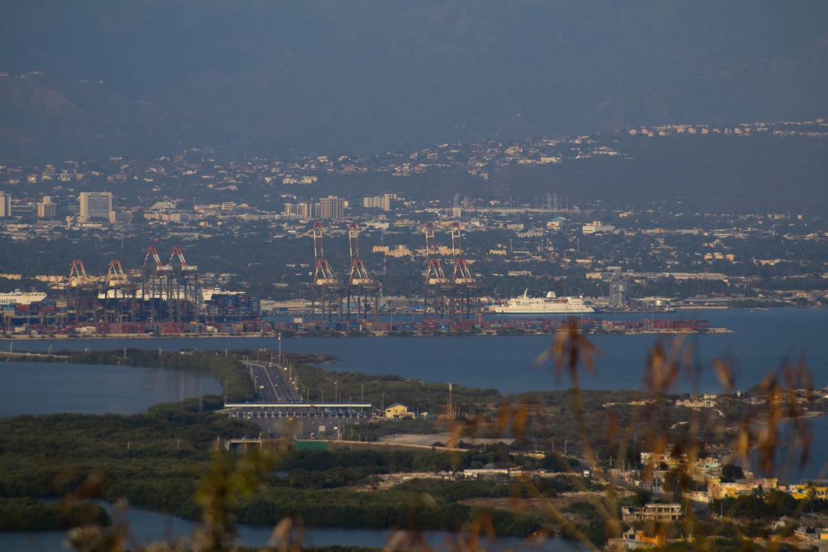
Located approximately twenty four (24) kilometres from Jamaica’s capital city, is the urban settlement known as Portmore. It is situated on the south eastern coast of St. Catherine. Portmore is one of the largest urban areas in St. Catherine, second to the capital Spanish Town. Portmore can be divided into two regions, the plains to the north and the limestone hills of Hellshire to the south. Today, references to Portmore mean the area that makes up the Municipality of Portmore from Passage Fort Drive to the north to as far south as Port Henderson Road. The history of Portmore is one that encompasses a rich and compelling past that can be traced through different groups of people and localities that made significant impact on the area today
Information National Library of Jamaica – Photo by andrzj brown on Unsplash